Use Coiled. Save the planet.
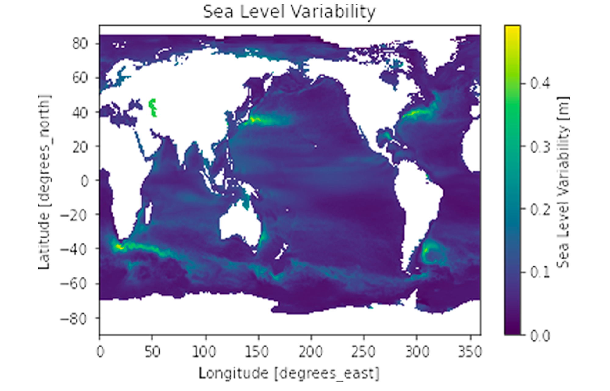
Dask provides the foundation for scaling spatial analysis in Python.
Popular geospatial libraries integrate tightly with Dask, allowing you to scale workloads to Earth-sized datasets. Coiled makes it easy to launch clusters next to that data, providing fast access to both
public
and your own private datasets in the cloud.
Fundamental packages like
Xarray
and
GeoPandas
integrate natively with Dask to scale. You can use the same interface for working with a 1GB file locally as for a 1TB dataset distributed across a cluster.
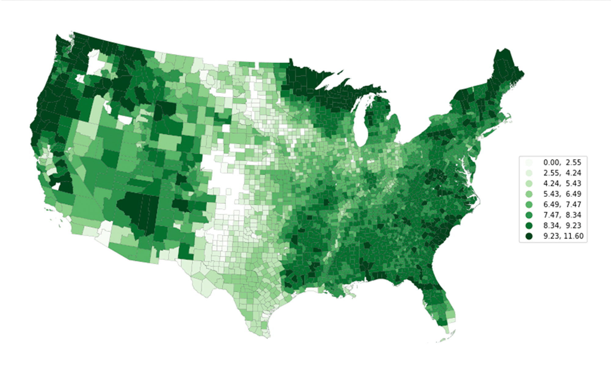
A
rich
ecosystem
of geospatial tools are available, thanks to a large community of academic, industry, and government users.
Dask’s flexibility enables advanced spatial workflows that would be impractical to run at scale with traditional GISs or databases.
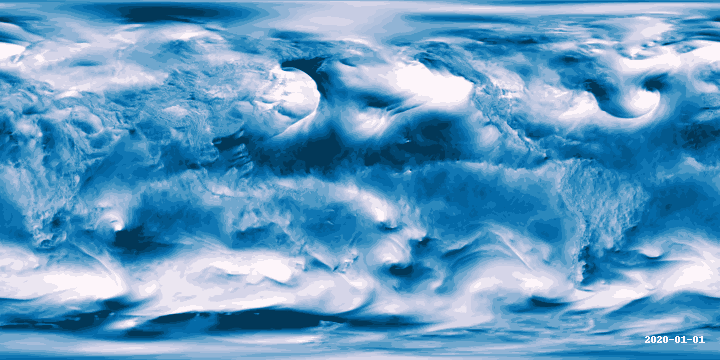
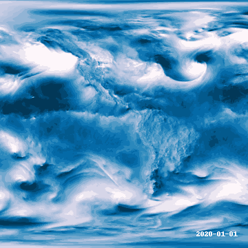
# code used to produce the image above ^
import xarray as xr
import geogif
import coiled
ds = xr.open_dataset(
    "s3://era5-pds/zarr/2020/01/data/eastward_wind_at_100_metres.zarr",
    engine="zarr",
    chunks={},
hourly_wind = (
    ds['eastward_wind_at_100_metres']
    sel(lon=slice(180, None))
    .coarsen(lat=2, lon=2, boundary='trim')
    .mean()
cluster = coiled.Cluster(backend_options={'region': 'us-east-1'})
# ^ same region as `era5-pds` bucket
client = cluster.get_client()
geogif.dgif(hourly_wind).compute()